Excursion tip: Hiking to the Rabenkopf
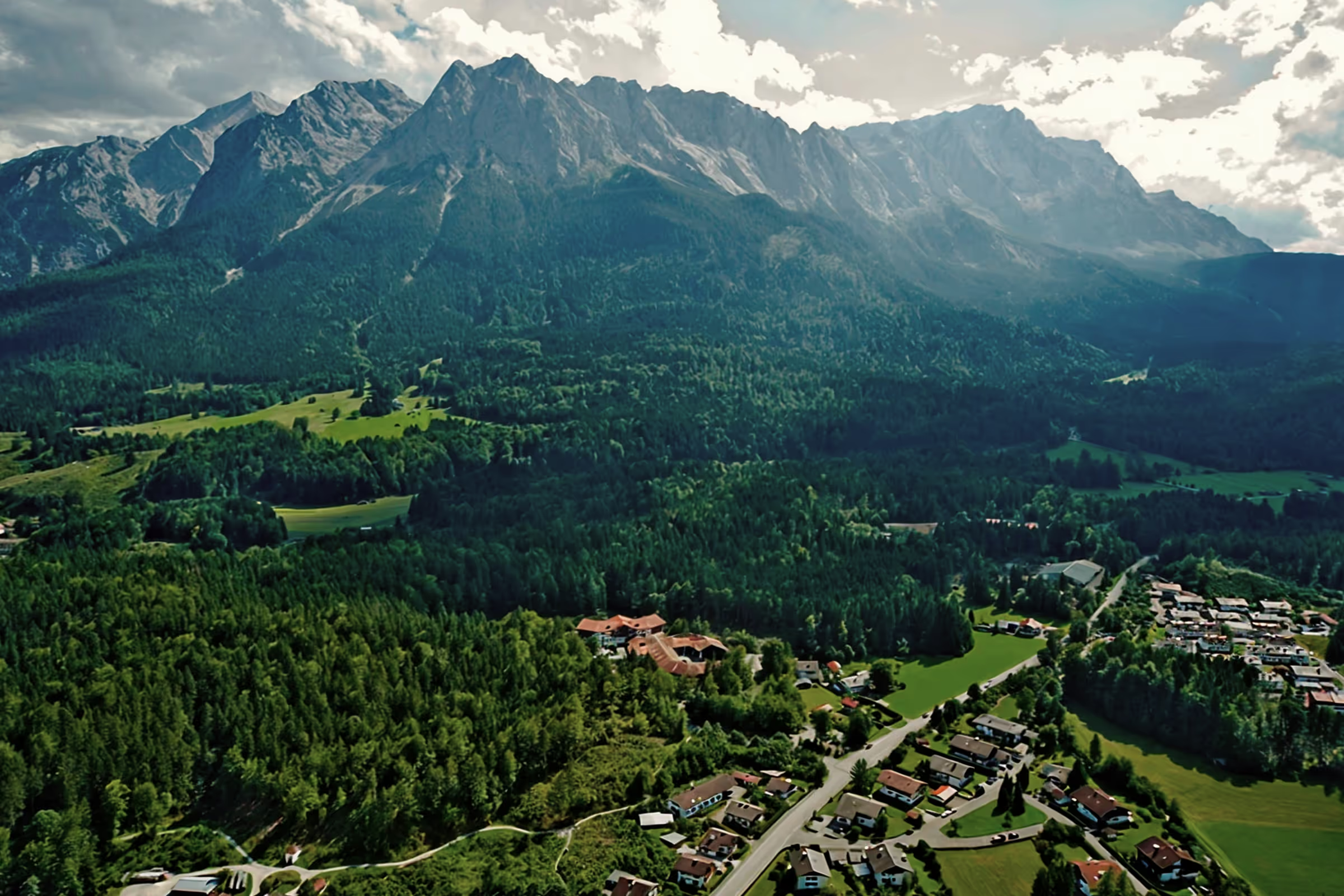
The Rabenkopf is a 1,555 meter high mountain in the Bavarian Prealps between Benediktenwand and Jochberg. The Rabenkopf offers the opportunity to visit the summit without large crowds of people. Nevertheless, it is very popular with local hikers from the region and holidaymakers in Kochel am See.
Tour profile
Difficulty level: medium
Route length: approx. 15 km (total)
ascents: 800 hm
descents: 800 hm
From car park to summit in 3 hours
The starting point of the hike is the Ort car park (Orterer Hang, Rabenkopf) on the B11 near Ötzgasse near Ort. To get a parking space, you should be there before 09:00, as it gets full quickly. The ascent runs along a forest road past the former lift system. It's always uphill through the forest, sometimes easier, sometimes a little steeper. At the first intersection, follow the signs to Rabenkopf, at the second intersection, a path turns left (there is an arrow mark on the ground), ignore it and continue along the main path straight ahead. Unfortunately, there is once again a hiking sign that guides those who are not familiar with the area to the right path, because many hikers are irritated by the arrow on the ground and are then allowed to go there and back. And who would want that?

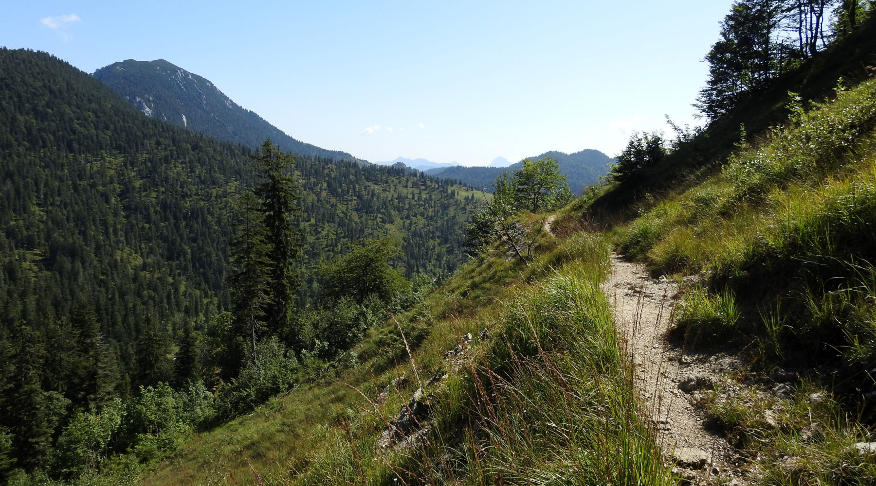
From Orterer Alm to Pessenbacher Joch
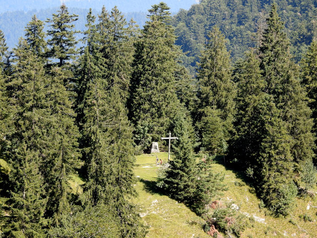
After 1:30 to 2 hours, depending on hiking time or breaks on the way up, you reach the Orterer Alm. The Orterer Alm offers a nice place to stop off with a snack, cheese platter and a small selection of cakes. Since we don't want to climb the climb with a heavy stomach, we're heading further up. The following increase is tough. In bends and steps, it goes up to the Pessenbacher Joch. At different heights, you can see other hikers and so you can easily estimate how many bends still need to be made. The leg muscles really enjoy this piece. It is all the more beautiful to finally see the summit of the Pessenbacher Joch with the wooden cross. The difficult part is now a thing of the past and when looking ahead, the effort is forgotten again. We still deserve a break and so we enjoy the sunny temperatures and the view of the mountains with a few other hikers.
From Pessenbacher Joch to Staffelalm
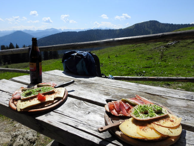
We have steamed cabbage now and we are now looking forward to a stop. It is not far from the Pessenbacher Joch to the Staffelalm, the 2nd stop on this hiking trail. The path there is pleasantly flat, at least one route that is not uphill, so your legs can relax a bit. However, the trail has some narrow areas and attention should be paid to oncoming traffic. You should also be free from vertigo. That's when we've already arrived at Staffelalm. The Staffelalm is a nice little hiking hut, but it doesn't offer much space for hikers. But we're lucky to find another bank. The selection of dishes is manageable. Anyone who is in the mood for a hearty schnitzel, Kaiserschmarrn or other delicious Bavarian delicacies is unlucky, or better prepared and packed something hearty in their provisions. There is a small selection of bread plates and a few pieces of cake. Regardless, hunger is the best cook and we are now looking forward to the bread platter with three slices of bread and a cool cyclist.
From Staffelalm to the summit
In theory, from the Staffelalm, it's once again via bends and steps up to the summit. Practically speaking, however, it is too hot for us today and admittedly we are also a bit lazy after dinner. This time we leave the summit behind and head back down to the valley for us.
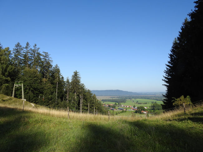
However, if you still want to go up to the summit, walk another 30 minutes and can enjoy the view of Lake Staffelsee and Lake Starnberg at the summit cross. There are then two options for the descent: the easy route follows the already completed route back to the Pessenbacher Joch, or you take the via ferrata and walk over the Schwarzeck summit, then steeply down over serpentines past the Bergwachthütte to the Pessenbacher Joch. From there, it's back to the car park at Orterer Alm.
Regardless of how you want to plan your hike, whether just up to the Otterer Alm, up to the Pessenbacher Joch, up to the Staffelalm or up to the Rabenkopf, it should have been a nice hiking day at the end.
- Hiking time: approx. 5-6 hours main route back and forth
- classification: easy - moderately difficult hike (depending on whether you take the via ferrata trail)
- Other career opportunities From Kochel am See you can here.
- Travel time from Grainau: approx. 45 minutes - 1 hour by car.
If you want to travel by public transport, get on the bus to Kochel am See at the town hall in Garmisch-Partenkirchen and start the hiking tour from there (see other ascent option). - Opening hours Check the alpine huts, or pack enough food.
Heartily Wellcome
at Lake Badersee